Topographical Surveys
A topographical survey involves mapping the physical features and terrain of a specific area. These surveys are essential for various purposes, including urban planning, construction projects, land development, and environmental assessment. They provide detailed information about the elevation, contours, natural and man-made features, such as buildings, roads, trees, and water bodies, within the surveyed area.
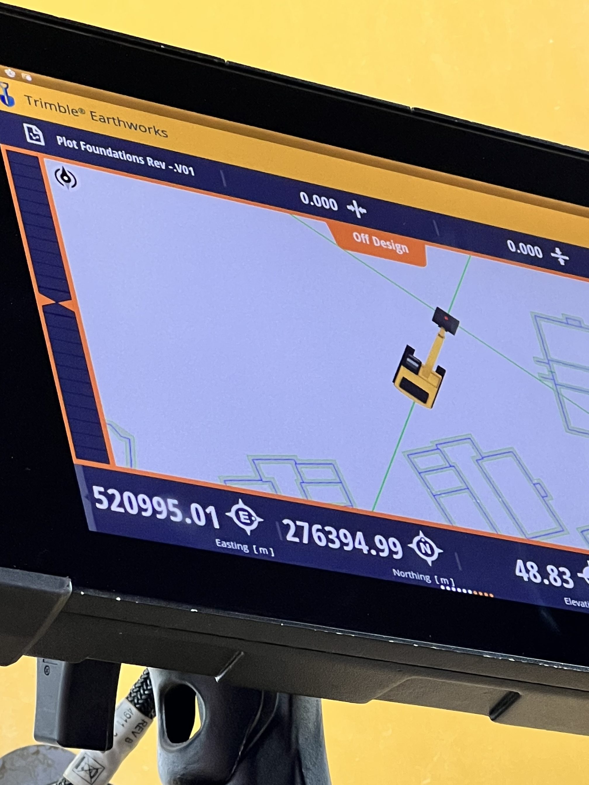
Site Engineering
A site engineer is a crucial role in construction and engineering projects. They are responsible for overseeing the technical aspects of construction on-site, ensuring that the project is executed according to plans, specifications, and regulations. Our technical expertise, problem-solving skills, and attention to detail to deliver projects on time, within budget, and to the required quality standards.
Volume Surveys
Volume surveys are essential in construction and civil engineering projects to accurately quantify the amount of material that needs to be excavated or filled at a site. These surveys involve measuring and calculating the volume of material movement required to prepare the site for construction, roadworks, landscaping, or other purposes. Using DTM Software: Digital terrain modeling software allows us to create a three-dimensional model of the site’s existing and proposed terrain. Volumes can be calculated by comparing the surface areas of the existing and proposed terrains.
Measured Building Surveys
A measured building survey is a comprehensive surveying process conducted to accurately record the existing dimensions, layout, and structural features of a building. These surveys provide detailed information essential for various purposes, including architectural design, renovation, refurbishment, space planning, asset management, and historical preservation. The survey data is recorded digitally using CAD (Computer-Aided Design) software or Building Information Modeling (BIM) platforms. Detailed drawings, plans, elevations, sections, and 3D models are created to accurately represent the building’s existing conditions.
Designed with WordPress
